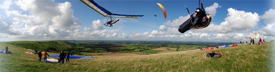
| Flight details: | A couple of times I thought I might be getting up high, but each fizzled out. On the third attempt, I got to over 2,000 feet in a slowish climb with Owen, but still not to base. Owen headed back to the hill, correctly deciding that the sky was not looking epic; I drifted southwards, thinking: Aha! A cross-country. So I looked at my GPS -- not switched on, and upside down on my flight deck. Got out my air map: Aha! I thought. This would be most useful if I were trying to fly from Shropshire to the Welsh coast. Or even from the Welsh coast to Shropshire. Altogether, it was no surprise that, after a brief excursion over the suburbs of Hove (has Hove got suburbs? Is it a suburb?), I had to turn back to land near the Dyke roundabout. Thanks to Annie for the retrieve -- before I'd even started hitching. She already had Hugh Miller on board, who I think had flown from the Dyke to Bo-Peep. |