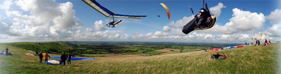
Free Flying on The South Downs
Spring Safety Briefing 2008 (was 2007!)

At last. It's that time of year again. The thermalling season has started!
We've already had some strongish thermal activity, though this has been limited so far by thin cirrus filtering the sun a bit - even Caburn at lunch-time in sea air has been relatively benign. But, look out for the next cold night and really clear day...
Things To Remember
Despite being at its warmest for years, seasonally speaking the sea is at its coolest now, so there may not be much of an early morning land-breeze to give you an indication of the impending wind; pay attention to the forecast and upper wind-speeds.
The air at night still gets pretty cold at this time of year, but the morning sun now has a bit of punch and will rapidly produce a shallow super-adiabatic layer with small parcels of air going both up and down quite fast. Within about half an hour this layer will deepen and flows will become more organised and suitable for soaring.
Surface heating will gradually raise the temperature to the point at which the wind can get down to ground level and, as you catch sight of the first cumulus of the day, a gusty surface wind will start. Thermals going up start to cause downdraughts coming down to fill the 'holes' and these sinking parcels of air bring their upper-level wind momentum with them adding to the gustiness and sharp direction changes of the air at flying levels. Average climb rates will leap from the 2-400 fpm of the last few weeks to 800fpm or more. Downdraughts will increase in similar magnitude.
Be prepared to get gusted off the ground during your launch or whilst ground-handling and don't forget to sit on a wing tip when parked. If you leave your glider, make sure it is securely bundled under the weight of your harness.
Crowded Skies
This is one of the seasons when over-crowding can get to be a real problem. Lots of pilots, all scrabbling for the same small thermals, some of them insufficiently experienced, others out of practice, others totally oblivious of the conditions. If you have the opportunity to go elsewhere to fly, now is the time!
The problem is not so much that there will be more fliers because the sun has come out, but is more due to increased instability and typically small spring thermals. In this kind of air we all need more room to allow a safe margin. Add a couple of wingspans extra horizontal clearance and do not take your vertical separation for granted; gliders can change height very rapidly. You can find yourself only a few feet away from someone who is climbing at over 1000fpm when you are literally falling out of the sky.
Allow space for the pilot in front of you to circle and centre in thermals. Make it clear that you are giving way by making a slight turn to one side, holding off, then joining behind them. They will afford you the same courtesy when it is your turn.
Sea Breeze Fronts
Spring sea breezes are generally patchy broken affairs, often more of a curse than a blessing. Onset may be sudden and with little warning, though there is usually a flurry of intensified thermal activity just ahead of the front. As the season progresses they tend to develop as more organised large-scale flows and may even stretch for some miles in straightish lines. In these conditions the wind will gradually back and decrease as a SW sea breeze front gets nearer, finally increasing sharply just before the front comes through. Look for vertical movement in the approaching curtain cloud. If this is rapid or disorganised, stay well clear.
As a rough guide, I would not recommend you to play with sea breeze fronts at low level unless you have some hundreds of hours and are current on your wing. If however, you have good height when the front comes through, go with it and enjoy!
Ian Grayland